What we build
We make places legible.
A historic town is a dense archive most visitors walk straight past. Our platform layers that archive onto the street.
Proximity, not navigation.
Most travel apps ask you to look at a screen. Ours asks you to look up. The phone tracks where you are and starts the right story at the right doorway — the map is there when you want it and quiet when you don’t.
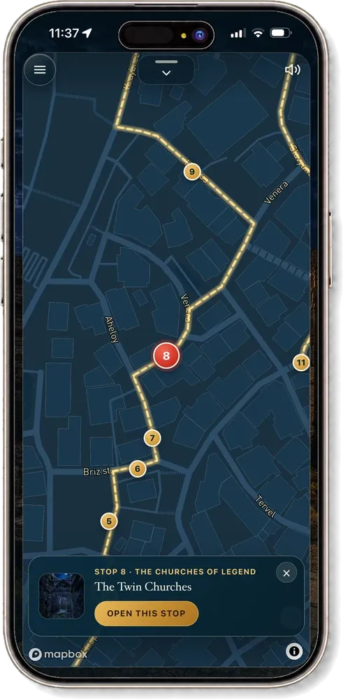
Built for bad conditions.
Full sun, no signal, thirty percent battery, a phone held in one hand while the other holds a coffee. Content is cached for offline use before the walk begins, and the interface is designed to be read at arm’s length in daylight.
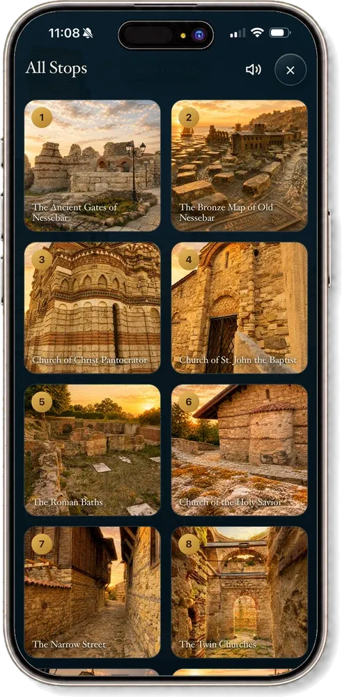
A layered archive.
Underneath the walking route sit deeper modules — an interactive ancient map, a timeline of the civilisations that held the town, a gallery of its icons, a reading of the marks left in its walls. Visitors who want twenty minutes get twenty minutes. Visitors who want an afternoon get an afternoon.
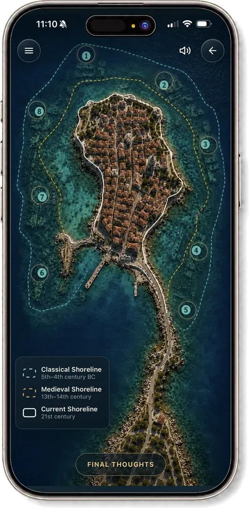
Language as a build step, not a project.
Every stop is authored once and voiced in each language we ship. Adding a market is a translation pass, not a new production.
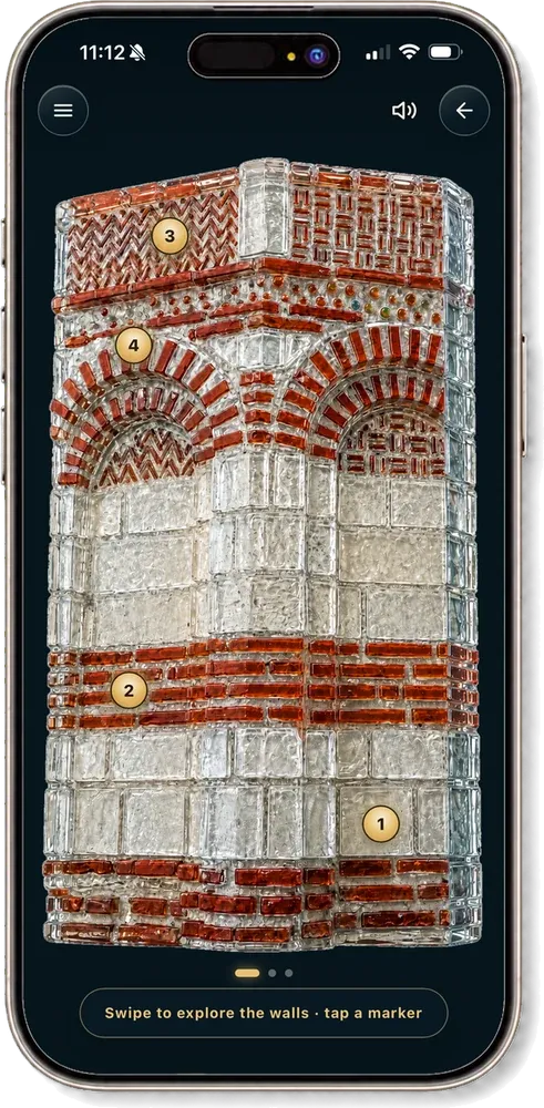
Bring us to your town.
We work with municipalities, museums and tourism boards to build the guided experience end to end — research, narration, mapping, multilingual release, and the updates after launch.
Start a conversation